Oil and Gas Threat Map Sneak Peek Webinar
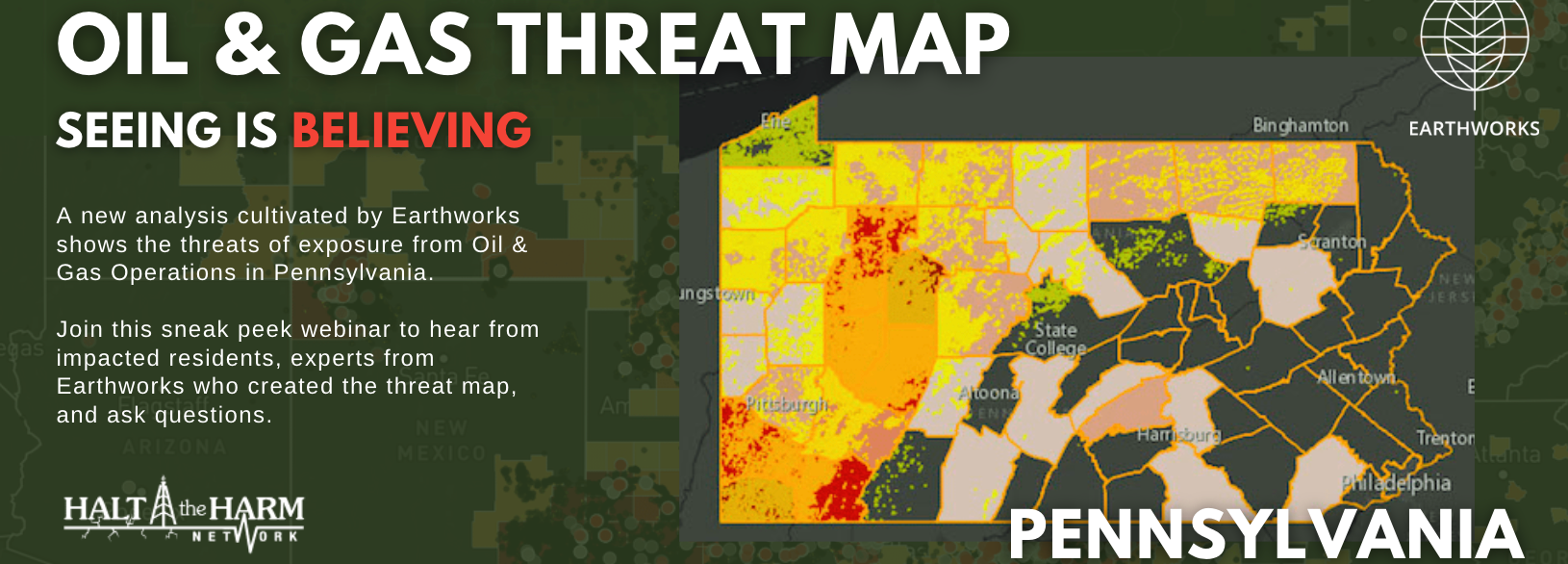
Clean Air Council is supporting a new geospatial analysis released by Earthworks that shows 1,482,810 Pennsylvanians including 290,123 children, reside near or attend schools or daycares within a ½ mile threat radius of active oil and gas operations. This analysis comes as the U.S. Environmental Protection Agency (EPA) works to finalize their widely supported proposed safeguards to reduce greenhouse gas emissions and associated toxic air pollution from new and existing oil and gas facilities and as they prepare to introduce a supplemental rule to address routine flaring and smaller leak-prone wells.
The Oil and Gas Threat Map displays information about those living within a half mile of oil and gas facilities in Pennsylvania and other states. Although scientific literature shows that health impacts are also associated at distances greater than ½ mile, we conservatively use ½ mile because it is the distance at which these impacts have been most clearly correlated. The Oil and Gas Threat Map will also display data about the risk of increased cancer and respiratory health rates at the county level. In addition to the data that the Oil and Gas Threat Map presents, users can enter their own address to see if they live in a threat zone.
To access the map, visit oilandgasthreatmap.com
Before the full presentation of the Oil and Gas Threat Map by Alan Septoff, Information Systems Director for Earthworks, participants will also hear from:
Rachel Meyer, Ohio River Valley Field Coordinator, Mom’s Clean Air Force
Marie DeMarco, Health Educator & Medical Advocacy Coordinator, Physicians for Social Responsibility Pennsylvania