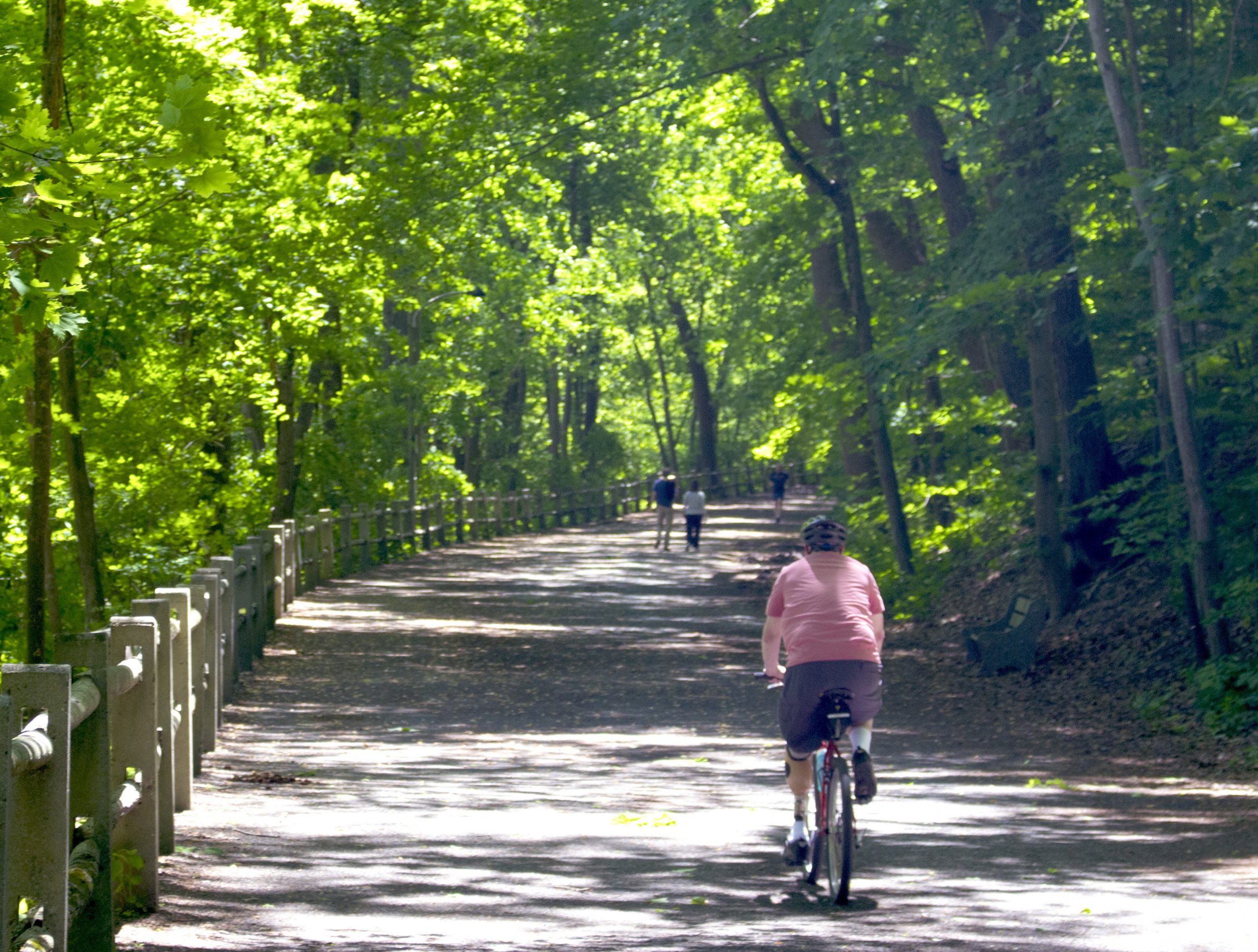
The Council’s GoPhillyGo trip planner is the best way to get car-free multimodal directions in the Philadelphia region. Now, the new GoPhillyGo “Tours” section allows users to navigate between three or more destinations that are close in proximity or share a common theme.
For example, when you plan a trip to Wissahickon Valley Park, use the premade tour to navigate from the Toleration Statue to the Fingerspan Bridge, then to the Valley Green Inn for a bite to eat along the creek. Use “Tours” to find gateways and trailheads for regional greenways like the Schuylkill River Trail, Cobbs Creek Trail, and Tacony Creek Trail.
Mobile sources are the number one source of air pollution in the Philadelphia region, and each time you plan a car free trip on GoPhillyGo, you are doing your part to reduce air pollution . Double down on your commitment to sustainability and check out the new “Tours” section on GoPhillyGo.
For more information on the Council’s GoPhillyGo program email Ptah Gabrie at pgabrie@cleanair.org
The point where the Wissahickon Creek meets the Schuylkill River has been an important link to travel in the area for thousands of years. Today, it’s highly congested with transit and vehicle traffic entering and exiting the Roosevelt and Schuylkill Expressways.
It’s a hub for SEPTA with 11 bus routes stopping at the Wissahickon Transportation Center, and the Wissahickon Regional Rail Station just a few hundred feet away, Two of the region’s most popular trails, the Schuylkill and Wissahickon, converge here as well. “We have all these modes of transportation butting heads here,” said Matt Wysong, Senior Planner at the Philadelphia Planning Commission. “That was an obvious issue we identified in this plan.”
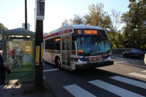
Thousands of commuters pass through the Wissahickon Transportation Center (WTC) and along Ridge Avenue every day heading into Center City, and also west to the suburbs. The city’s Planning Commission has identified this part of the city as a focus area for improving service and accessibility to riders, and recently conducted a boots on the ground survey to find out what people think about their commute through this area.
“We are here today to talk to the people that use the area,” Wysong said. “To get a better understanding of what they see as the conditions on the ground, the issues and the greater opportunities.”
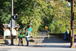
Wysong and a small group of surveyors from Clean Air Council and the city’s Planning Commission were out during peak hours, speaking to people getting off buses and riding bikes along the Wissahickon trail. Wysong told us that many people riding SEPTA often took more than one bus to get to their destination, and some even had commutes that were two hours long.
Wysong says he noticed the area is particularly hard for cyclists to navigate. “What I am observing here is that there is a lot of conflicts for bicyclists,” Wysong said. “They’re just trying to use every inch of space to kind of get through it somehow.” He pointed out that with no clear path through the area, cyclists run the risk of colliding with cars and pedestrians.
SEPTA recently received federal funding to update WTC, and Wysong tells us that SEPTA is looking to expand to the lot next door. He says this would allow for double the capacity of the current WTC. He also tells us that once SEPTA completes this project, Parks and Recreation wants to connect the Schuylkill River trail along the water.
Currently, trail users are forced to travel through this congested area before getting back on the Schuylkill River Trail. Once finished, the trail will eventually connect to the Pencoyd bridge over the Schuylkill River and allow riders to enjoy trails on either side of the river. This is one of the last remaining undeveloped segments of the Schuylkill River Trail, and once it’s linked up here, riders will be able to enjoy a safe ride all the way up to Pottsville.
For more info on the project and public hearings regarding the study click here.
